


Aschau

Geert H.
User


Length
9.4 km

Max alt
1560 m

Uphill gradient
579 m
Km-Effort
16.9 km

Min alt
1010 m

Downhill gradient
510 m
Boucle
Yes
Creation date :
2022-09-08 09:09:12.771
Updated on :
2022-09-10 15:28:53.334
1h05
Difficulty : Medium

FREE GPS app for hiking
 SityTrail
IGN / Geographical institutes
SityTrail Plus
The world is yours!
About
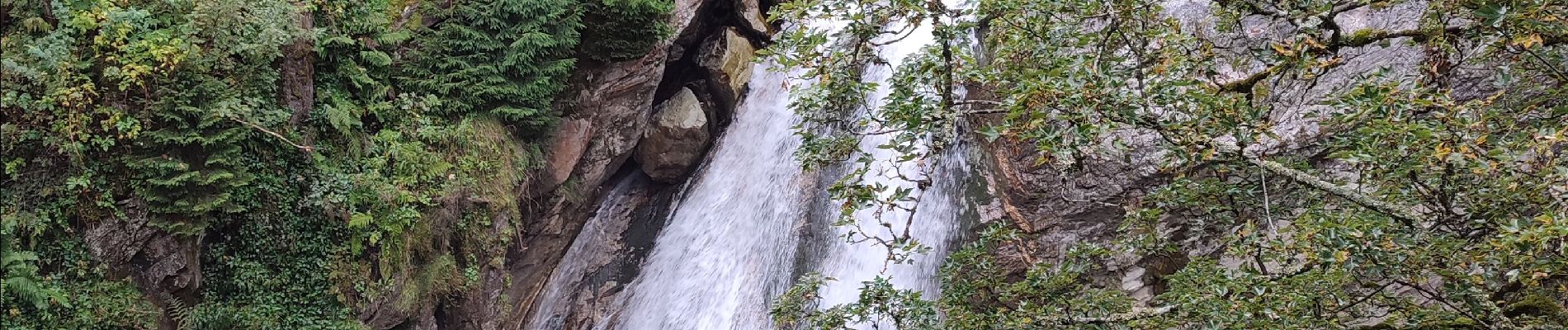
Trail Trail of 9.4 km to be discovered at Tyrol, Bezirk Kitzbühel, Gemeinde Kirchberg in Tirol. This trail is proposed by Geert H..
Photos


Positioning
Country:
Austria
Region :
Tyrol
Department/Province :
Bezirk Kitzbühel
Municipality :
Gemeinde Kirchberg in Tirol
Location:
Unknown
Start:(Dec)
Start:(UTM)
296616 ; 5250604 (33T) N.
Comments